 Analytics: India
Date: November 14, 2026
Akbarpur (Kanpur Dehat) city is the capital of Kanpur Dehat district, which has 0.9% of the State's population. In agriculture, this district contributes 2.6% of State's Wheat production, 3% of Uttar Pradesh's Potatoes production, 0.3% of Uttar Pradesh's Soybean production, and 4% of State's Onion production. The nearest airport is Mahayogi Gorakhnath Airport in Gorakhpur, located 59 Km away.
Akbarpur (Kanpur Dehat) is the 640th ranked city in population, out of 756 District Capitals (DHQs) of India. It is the capital of Kanpur Dehat District in Uttar Pradesh State. Kanpur Dehat District is ranked 227th in population and 432nd in area across India.

The average City FB Users % of City Literate Population of Indian city (district capitals)/districts is 199. Akbarpur (Kanpur Dehat) is the 14th highest ranked city out of 756 city/districts.This indicates higher facebook IDs in FB Advertising module for this town vis a vis other towns.
The average House Ownership % of Households (%, Census 2011) of Indian city (district capitals)/districts is 87. Akbarpur (Kanpur Dehat) is the 67th highest ranked city out of 756 city/districts.This implies that economic activies in this district is more compared to other districts.
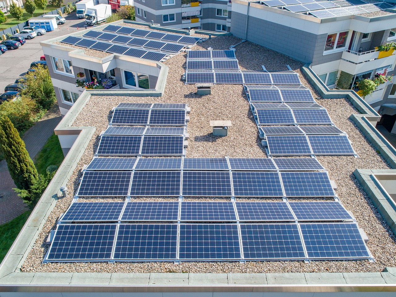
Out of 756 District Capitals/Districts of India, Akbarpur (Kanpur Dehat) is the 124th highest ranked in # of Households with Main source of Lighting as Solar Energy . This indicates that the government has placed a greater emphasis on green energy in this district compared to other districts.
The average Number of Missing Persons (NO, IPC 2024) of Indian city (district capitals)/districts is 848. Akbarpur (Kanpur Dehat) is the 578th highest ranked city out of 756 city/districts.This indicates a safer district as compared to other districts.
 City FB Users % of City Literate Population
 House Ownership % of Households (%, Census 2011)
 # of Households with Main source of Lighting as Solar Energy
 Number of Missing Persons (NO, IPC 2024)
 # of Ph.D Enrolments (No, AISHE 2021)
 # of Uninhabited Villages
 Number of Households with means of Transport as Car/ Jeep/Van (No, Census 2011)
Out of 756 District Capitals/Districts of India, Akbarpur (Kanpur Dehat) is the 734th worst ranked in # of Ph.D Enrolments (No, AISHE 2021) . This indicates that this district is less urbanised and/or has a less developed educational infrastructure compared to other districts
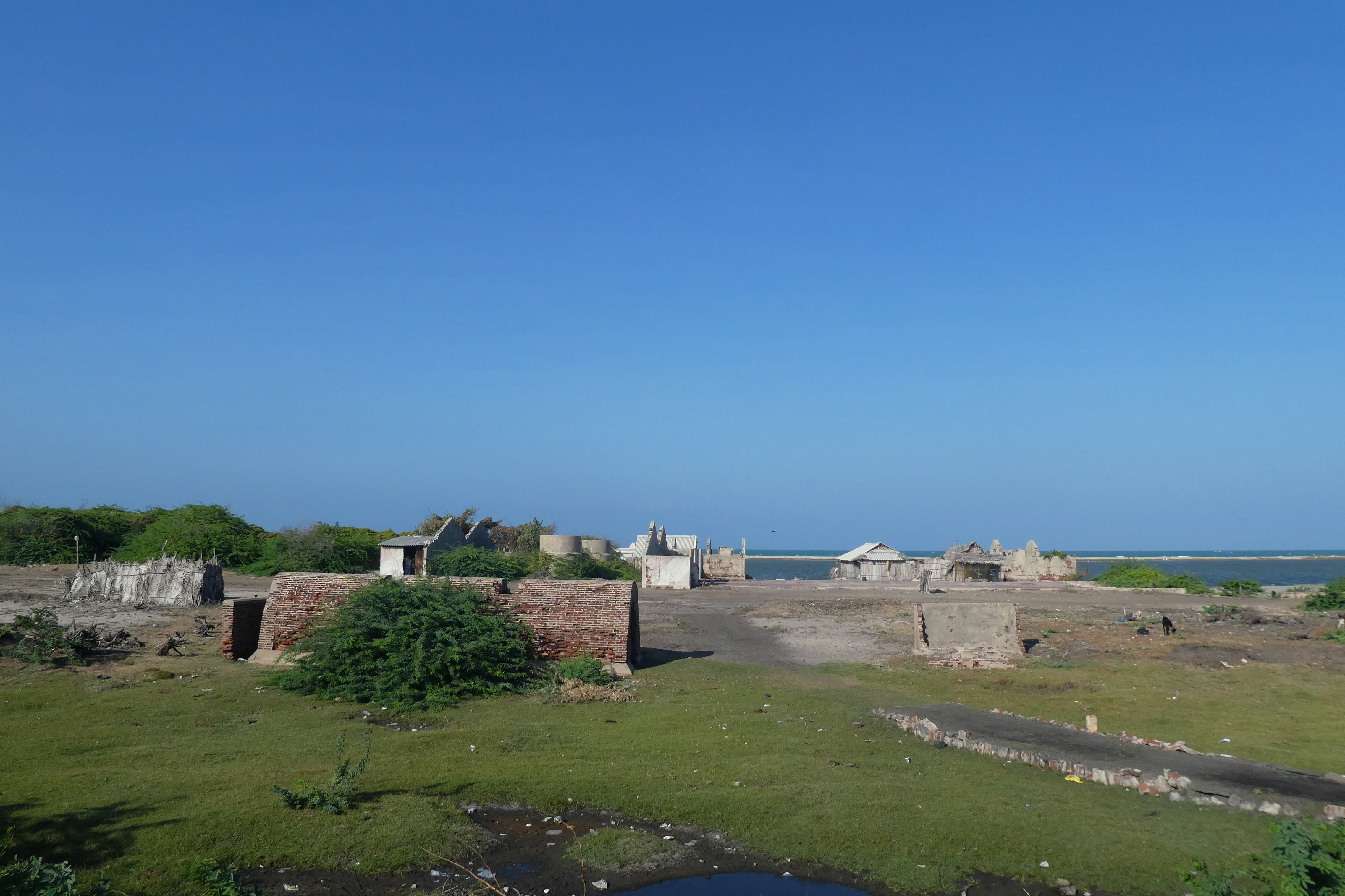
The Average # of Uninhabited Villages of Indian City (District Capitals)/Districts is 64. Akbarpur (Kanpur Dehat) is the 573rd worst ranked City out of 756 City/Districts. This indicates poor development in this district compared to other districts.
Out of 756 District Capitals/Districts of India, Akbarpur (Kanpur Dehat) is the 535th worst ranked in Number of Households with means of Transport as Car/ Jeep/Van (No, Census 2011) . This implies that economic condition of people in this district is poor compared to other districts.
The Data-Ranks below are numbered from 1 to 756 for each metric. The Indian census data is aggregated and shared for 756 geographies by the government at a regular frequency. We have shared the data-rank below for easy relative comparison between the 756 Indian districts/state captials. However, we do have the actual numbers for each metric, and these are available for our registered users. To register, please click here.
Akbarpur (Kanpur Dehat) Nature Highlights
| Nature Metrics | % of India | Rank Out of 756 | City / Districts Data | |
|---|---|---|---|---|
|
Ab. Prod (Mn tonn) Wheat Production |
Ab. Prod (Mn tonn) Wheat Production | 1.09% | 9th | 7013 |
|
Number of Pony (20th Cattle Census) |
Number of Pony (20th Cattle Census) | 0.02% | 10th | 4617 |
|
Number of Donkey (20th Cattle Census) |
Number of Donkey (20th Cattle Census) | 0.01% | 36th | 5273 |
|
Ab. Prod (Mn Tonnes) Soyabean Production |
Ab. Prod (Mn Tonnes) Soyabean Production | 0.02% | 95th | 7188 |
|
Number of Buffalo (20th Cattle Census) |
Number of Buffalo (20th Cattle Census) | 0.64% | 129th | 10528 |
|
Ab. Prod (000' Tonnes) Onion Production |
Ab. Prod (000' Tonnes) Onion Production | 0.32% | 137th | 10079 |
|
Number of Camel (20th Cattle Census) |
Number of Camel (20th Cattle Census) | 0.00% | 153rd | 9046 |
|
Number of Goat (20th Cattle Census) |
Number of Goat (20th Cattle Census) | 0.34% | 198th | 8654 |
|
Ab. Prod (000' tonnes ) Potatoes Production |
Ab. Prod (000' tonnes ) Potatoes Production | 0.86% | 219th | 11078 |
|
Number of Mule (20th Cattle Census) |
Number of Mule (20th Cattle Census) | 0.01% | 266th | 6264 |
|
Number of Total Poultry (20th Cattle Census) |
Number of Total Poultry (20th Cattle Census) | 0.00% | 371st | 2692 |
|
Number of Pig (20th Cattle Census) |
Number of Pig (20th Cattle Census) | 0.02% | 409th | 8947 |
|
Number of Cattle (20th Cattle Census) |
Number of Cattle (20th Cattle Census) | 0.11% | 459th | 9778 |
|
Number of Sheep (20th Cattle Census) |
Number of Sheep (20th Cattle Census) | 0.03% | 487th | 1697 |
|
Number of Horse (20th Cattle Census) |
Number of Horse (20th Cattle Census) | 0.04% | 501st | 5555 |
The Data-Ranks below are numbered from 1 to 756 for each metric. The Indian census data is aggregated and shared for 756 geographies by the government at a regular frequency. We have shared the data-rank below for easy relative comparison between the 756 Indian districts/state captials. However, we do have the actual numbers for each metric, and these are available for our registered users. To register, please click here.
Akbarpur (Kanpur Dehat) Culture message.info.Highlights
| Sr.No | ai.info.Culture Metrics | ai.info.Counts | ai.info.Name |
|---|
| ai.info.Name | City | IATA Code | Distance | |
|---|---|---|---|---|
|
Airport Name |
Mahayogi Gorakhnath Airport | Gorakhpur | GOP | 59 Km |
No Data found.
The Data-Ranks below are numbered from 1 to 756 for each metric. The Indian census data is aggregated and shared for 756 geographies by the government at a regular frequency. We have shared the data-rank below for easy relative comparison between the 756 Indian districts/state captials. However, we do have the actual numbers for each metric, and these are available for our registered users. To register, please click here.
Better than India Average
| Sr.No | Fields | India Average | Rank out of 756 | City / District Data |
|---|---|---|---|---|
| 1 | No of District Hospital | 1 | 155th | 10073 |
| 2 | No of Community Health Centers | 9 | 258th | 8304 |
Worse than India Average
| Sr.No | Fields | India Average | Worst Rank out of 756 | City / District Data |
|---|---|---|---|---|
| 1 | No of Nurses | 3442 | 260th | 7282 |
| 2 | No of Hospital Beds | 1289 | 321st | 4939 |
| 3 | No of Primary Health Centers | 49 | 357th | 10832 |
| 4 | No of Total Hospitals | 62 | 358th | 10676 |
| 5 | No of Doctors | 1825 | 362nd | 2616 |
The Data-Ranks below are numbered from 1 to 756 for each metric. The Indian census data is aggregated and shared for 756 geographies by the government at a regular frequency. We have shared the data-rank below for easy relative comparison between the 756 Indian districts/state captials. However, we do have the actual numbers for each metric, and these are available for our registered users. To register, please click here.
Better than India Average
| Sr.No | Fields | India Average | Rank out of 756 | City / District Data |
|---|---|---|---|---|
| 1 | House Ownership % of Households (%, Census 2011) | 87 | 67th | 9895 |
| 2 | Number of Households with Owned houses (No, Census 2011) | 284991 | 252nd | 6119 |
| 3 | Number of Households without Internet (No, Census 2011) | 21296 | 213th | 5706 |
| 4 | Bank Credit - Bank Debit/No. of banks (Crore, RBI SCB 2025) | 25 | 307th | 10065 |
Worse than India Average
| Sr.No | Fields | India Average | Worst Rank out of 756 | City / District Data |
|---|---|---|---|---|
| 1 | Bank Loans/Household (Lakhs, RBI SCB 2025) | 12 | 75th | 5318 |
| 2 | No. of Banks/1000 Household (in 1000, RBI SCB 2025) | 1 | 102nd | 11101 |
| 3 | Bank Deposit/Household (Lakhs, RBI SCB 2025) | 14 | 131st | 5335 |
| 4 | Bank Credit (Crore, RBI SCB Q4 2025) | 28696 | 214th | 5236 |
| 5 | Bank Deposits (Crore, RBI SCB Q4 2025) | 35100 | 282nd | 4437 |
| 6 | Number of Households with rented houses (No, Census 2011) | 38188 | 289th | 7323 |
| 7 | % of Household with Mobiles (%, Census 2011) | 50 | 323rd | 8816 |
| 8 | Number of Banks (No, RBI SCB Q4 2025) | 202 | 334th | 6207 |
| 9 | GDP per Capita ('000', RBI SCB 2025) | 260 | 355th | 10258 |
| 10 | Number of Households with Television (No, Census 2011) | 159851 | 361st | 9206 |
| 11 | Number of Households with TV, Computer/Laptop, Telephone/mobile phone and Scooter/ Car (No, Census 2011) | 15914 | 364th | 6659 |
| 12 | Number of Households with means of Transport as Scooter/ Motorcycle/Moped (No, Census 2011) | 70615 | 398th | 9625 |
| 13 | Number of Households with Internet (No, Census 2011) | 10793 | 404th | 4158 |
| 14 | Number of Households without TV, Internet, Radio, Computer, Mobile, Landline (No, Census 2011) | 57950 | 438th | 4411 |
| 15 | Bank Deposit-Bank Loans (Crores, RBI SCB 2025) | 6492 | 477th | 3498 |
| 16 | Number of Households with Mobile only (No, Census 2011) | 176769 | 480th | 10857 |
| 17 | % of Households with Cars (%, Census 2011) | 4 | 491st | 3953 |
| 18 | GDP (Crores. RBI SCB 2025) | 45120 | 508th | 4375 |
| 19 | Number of Households with means of Transport as Car/ Jeep/Van (No, Census 2011) | 15804 | 535th | 7279 |
The Data-Ranks below are numbered from 1 to 756 for each metric. The Indian census data is aggregated and shared for 756 geographies by the government at a regular frequency. We have shared the data-rank below for easy relative comparison between the 756 Indian districts/state captials. However, we do have the actual numbers for each metric, and these are available for our registered users. To register, please click here.
Better than India Average
| Sr.No | Fields | India Average | Rank out of 756 | City / District Data |
|---|---|---|---|---|
| 1 | Sex-Ratio (1000) (%, Census 2011) | 950 | 235th | 10826 |
| 2 | Dist. Formation Year | 2011 | 96th | 1602 |
| 3 | Population per sq. km. (Km, Census 2011) | 589 | 203rd | 7925 |
Worse than India Average
| Sr.No | Fields | India Average | Worst Rank out of 756 | City / District Data |
|---|---|---|---|---|
| 1 | Decadal Growth Rate (2011) (%, Census 2011) | 19 | 436th | 3550 |
The Data-Ranks below are numbered from 1 to 756 for each metric. The Indian census data is aggregated and shared for 756 geographies by the government at a regular frequency. We have shared the data-rank below for easy relative comparison between the 756 Indian districts/state captials. However, we do have the actual numbers for each metric, and these are available for our registered users. To register, please click here.
Better than India Average
| Sr.No | Fields | India Average | Rank out of 756 | City / District Data |
|---|---|---|---|---|
| 1 | # of No. of Schools (No, UDISE 2023) | 1950 | 441st | 3253 |
Worse than India Average
| Sr.No | Fields | India Average | Worst Rank out of 756 | City / District Data |
|---|---|---|---|---|
| 1 | Population (18-24) (Number, 2023) | 222087 | 86th | 5082 |
| 2 | # of Diploma (No, AISHE 2021) | 3736 | 123rd | 2451 |
| 3 | Gross Enrolment Ratio (GER) in Higher Education (18-23 Years) (No, AISHE 2021) | 29 | 195th | 5429 |
| 4 | # of UG Diploma Enrolments (No, AISHE 2021) | 342 | 258th | 9803 |
| 5 | # of Enrolment in Private and Government Colleges (No, AISHE 2021) | 40299 | 297th | 3376 |
| 6 | # of UG Enrolments - Science (No, AISHE 2021) | 7886 | 304th | 9194 |
| 7 | # of Bachelor's Enrolment (No, AISHE 2021) | 45972 | 327th | 2967 |
| 8 | # of Total Enrolments (No, AISHE 2021) | 50309 | 344th | 1842 |
| 9 | # of PG Enrolments - Commerce (No, AISHE 2021) | 554 | 371st | 7196 |
| 10 | # of Higher Education Enrolments % of Pop (No, UDISE 2023) | 2 | 377th | 6661 |
| 11 | # of Master's Enrolment (No, AISHE 2021) | 6932 | 382nd | 5922 |
| 12 | # of UG Enrolments - Commerce (No, AISHE 2021) | 6317 | 413th | 1211 |
| 13 | # of ITIS seats (No, AISHE 2021) | 4405 | 422nd | 8400 |
| 14 | # of Colleges (No, AISHE 2021) | 58 | 424th | 5835 |
| 15 | # of PG Enrolments - Science (No, AISHE 2021) | 1392 | 445th | 2611 |
| 16 | # of PG Enrolments - Management (No, AISHE 2021) | 823 | 446th | 7770 |
| 17 | # of UG Enrolments - Management (No, AISHE 2021) | 914 | 471st | 6709 |
| 18 | # of PG Enrolments - Engg (No, AISHE 2021) | 205 | 486th | 6498 |
| 19 | # of UG Enrolments - Law (No, AISHE 2021) | 613 | 584th | 6067 |
| 20 | # of Population (0-18) (No, Census 2011) | 139111 | 586th | 4103 |
| 21 | # of UG Enrolments - Teaching (No, AISHE 2021) | 1969 | 595th | 6915 |
| 22 | # of UG Enrolments - Medical (No, AISHE 2021) | 459 | 630th | 7486 |
| 23 | # of UG Enrolments - Engg (No, AISHE 2021) | 3524 | 644th | 7955 |
| 24 | # of UG Enrolments - Arts (No, AISHE 2021) | 12846 | 657th | 10478 |
| 25 | # of PG Enrolments - Arts (No, AISHE 2021) | 1619 | 727th | 8514 |
| 26 | # of Ph.D Enrolments (No, AISHE 2021) | 275 | 734th | 1556 |
The Data-Ranks below are numbered from 1 to 756 for each metric. The Indian census data is aggregated and shared for 756 geographies by the government at a regular frequency. We have shared the data-rank below for easy relative comparison between the 756 Indian districts/state captials. However, we do have the actual numbers for each metric, and these are available for our registered users. To register, please click here.
Worse than India Average
| Sr.No | Fields | India Average | Worst Rank out of 756 | City / District Data |
|---|---|---|---|---|
| 1 | Number of Police Stations (NO, IPC 2024) | 24 | 307th | 7743 |
| 2 | Number of Panchayats (Number , Census 2011) | 781 | 435th | 3492 |
| 3 | Sanctioned Police Force Number (NO, IPC 2024) | 3647 | 473rd | 4826 |
| 4 | Murder/Lakh Pop (Ratio, IPC 2024) | 2 | 238th | 4876 |
| 5 | Crime/1000 Pop (Ratio, IPC 2024) | 2 | 338th | 6787 |
| 6 | Number of Murders (NO, IPC 2024) | 37 | 411th | 4941 |
| 7 | Number of IPC Crimes (NO, IPC 2024) | 4796 | 425th | 4015 |
| 8 | Number of Cyber Crimes (NO, IPC 2024) | 161 | 526th | 5815 |
| 9 | Number of Missing Persons (NO, IPC 2024) | 848 | 578th | 8631 |
The Data-Ranks below are numbered from 1 to 756 for each metric. The Indian census data is aggregated and shared for 756 geographies by the government at a regular frequency. We have shared the data-rank below for easy relative comparison between the 756 Indian districts/state captials. However, we do have the actual numbers for each metric, and these are available for our registered users. To register, please click here.
Better than India Average
| Sr.No | Fields | India Average | Rank out of 756 | City / District Data |
|---|---|---|---|---|
| 1 | Urban Internet Pop/City Pop | 136 | 318th | 7766 |
| 2 | City FB Users % of City Literate Population | 199 | 14th | 3167 |
Worse than India Average
| Sr.No | Fields | India Average | Worst Rank out of 756 | City / District Data |
|---|---|---|---|---|
| 1 | Number of Internet Connections | 600102 | 130th | 8782 |
| 2 | Linkedin Audience Size | 242876 | 352nd | 5974 |
| 3 | English Speakers (Second Language + Third Language (No, Census 2011) | 165561 | 414th | 8376 |
| 4 | Number of Facebook Users. (Estimated Maximum) | 349660 | 494th | 5078 |
| 5 | Number of Instagram Users. (Estimated Minimum) | 360943 | 530th | 3427 |
The Data-Ranks below are numbered from 1 to 756 for each metric. The Indian census data is aggregated and shared for 756 geographies by the government at a regular frequency. We have shared the data-rank below for easy relative comparison between the 756 Indian districts/state captials. However, we do have the actual numbers for each metric, and these are available for our registered users. To register, please click here.
Better than India Average
| Sr.No | Fields | India Average | Rank out of 756 | City / District Data |
|---|---|---|---|---|
| 1 | Script Pools # < 30, 000 | 1 | 222nd | 4524 |
Worse than India Average
| Sr.No | Fields | India Average | Worst Rank out of 756 | City / District Data |
|---|---|---|---|---|
| 1 | Bengali Script | 21989 | 50th | 3032 |
| 2 | English Multilingual Population | 68182 | 82nd | 2110 |
| 3 | DHQ Mother Tongue Population (No, Census 2011) | 262810 | 126th | 6076 |
| 4 | Literacy (%, Census 2023)Estd | 78 | 335th | 4565 |
| 5 | Devnagri Script (Hindi) | 141580 | 375th | 7204 |
| 6 | Perso-Arabic Script (Urdu) | 28193 | 395th | 3574 |
The Data-Ranks below are numbered from 1 to 756 for each metric. The Indian census data is aggregated and shared for 756 geographies by the government at a regular frequency. We have shared the data-rank below for easy relative comparison between the 756 Indian districts/state captials. However, we do have the actual numbers for each metric, and these are available for our registered users. To register, please click here.
Better than India Average
| Sr.No | Fields | India Average | Rank out of 756 | City / District Data |
|---|---|---|---|---|
| 1 | Total Annual Newspaper Circulation (No, RNI 2022) | 670794 | 176th | 5106 |
Worse than India Average
| Sr.No | Fields | India Average | Worst Rank out of 756 | City / District Data |
|---|---|---|---|---|
| 1 | Number of Theatres (No, BOC 2020) | 33 | 238th | 7072 |
| 2 | Number of Dailies or Magazines (No, RNI 2022) | 245 | 488th | 2448 |
The Data-Ranks below are numbered from 1 to 756 for each metric. The Indian census data is aggregated and shared for 756 geographies by the government at a regular frequency. We have shared the data-rank below for easy relative comparison between the 756 Indian districts/state captials. However, we do have the actual numbers for each metric, and these are available for our registered users. To register, please click here.
Better than India Average
| Sr.No | Fields | India Average | Rank out of 756 | City / District Data |
|---|---|---|---|---|
| 1 | # of Inhabited Villages | 783 | 236th | 10599 |
| 2 | # of Households with Main source of Lighting as Solar Energy | 1514 | 124th | 1385 |
| 3 | Number of towns (Number , Census 2011) | 11 | 187th | 3816 |
Worse than India Average
| Sr.No | Fields | India Average | Worst Rank out of 756 | City / District Data |
|---|---|---|---|---|
| 1 | Urbanization (% , Census 2011) | 27 | 231st | 9436 |
| 2 | # of Households with Main source of Lighting as Electricity | 226023 | 243rd | 4245 |
| 3 | # of Households that use LPG/PNG as fuel for Cooking | 97776 | 315th | 4853 |
| 4 | Urban Population (Number , Census 2011) | 539511 | 349th | 4215 |
| 5 | # of Households with Location of drinking water source within premises | 156578 | 401st | 2344 |
| 6 | Number of households having latrine facility within the premises | 159246 | 422nd | 2782 |
| 7 | Number of households (Number , Census 2011) | 331150 | 480th | 4527 |
| 8 | # of Households with 1 married couple | 232072 | 485th | 9644 |
| 9 | # of Households that use Electricity as fuel for Cooking | 571 | 549th | 9566 |
| 10 | # of Uninhabited Villages | 64 | 573rd | 5235 |
The Data-Ranks below are numbered from 1 to 756 for each metric. The Indian census data is aggregated and shared for 756 geographies by the government at a regular frequency. We have shared the data-rank below for easy relative comparison between the 756 Indian districts/state captials. However, we do have the actual numbers for each metric, and these are available for our registered users. To register, please click here.
Worse than India Average
| Sr.No | Fields | India Average | Worst Rank out of 756 | City / District Data |
|---|---|---|---|---|
| 1 | Formal Jobs(Dist.),2023 | 21364 | 284th | 10841 |
| 2 | State Govt Jobs(Formal) Dist.,2023 | 2089 | 294th | 3994 |
| 3 | State Govt Jobs(Formal) DHQ,2023 | 14287 | 386th | 3193 |
| 4 | Informal Jobs(Dist.),2023 | 640794 | 412th | 4800 |
| 5 | Formal Jobs(DHQ),2023 | 19463 | 419th | 11244 |
| 6 | Informal Jobs(DHQ),2023 | 75949 | 431st | 10213 |
| 7 | # of Companies,2023 | 1934 | 433rd | 1564 |
LANGUAGES
City (District Capitals)/DHQ
Number Of Languages spoken by more then 30K Population : 0
BASIC DETAILS
| City (District Capitals)/DHQ
Population : |
: | 20,445 |
|---|---|---|
| City (District Capitals)/DHQ Population (Rank) |
: | 640th |
| District Area (km2) |
: | 3,021 |
| District Area (Rank) |
: | 432nd |
| No.of Towns
in District |
: | 12 |
| No. of Villages
in District |
: | 1,029 |
Q - Why is all Prarang India comparative analysis being done for 756 Districts & their
respective
D.H.Q. (District Head Quarter) towns?
A - The Indian geography has historically been measured by " Districts". Today, it is
politically
managed by States & U.T.s ( Union Territories) but the unit of measurement ( Census
baseline)
continues to focus on the District, for over 150 years now. " All India" thus is a sum of the
district
parts i.e. sum of 756 districts currently ( which were 640 districts only, when the last Census
took
place in 2011). Contrary to popular perception, most data being reported at a State & U.T.
level, is
not being aggregated from underlying data at an urban (towns) & rural(villages) level. India
has
approx. 9000 towns & 600000 villages, segregated into 756 districts, each with its
respective
DHQ
(District Head Quarter) town. Except for the largest 20 towns ( Metropolitan agglomerations)
where
some detailed data is gathered by the Central Government census, only basic demographic details
are available for India's cities. Detailed survey results of the District are the most important
data
points, used to model & estimate the City & State level information in India. The 756
DHQ (
District
Head Quarter) towns & 8 Union Territories, are the important Urban metrics available in
India,
for
comparative analysis. Big data of a big & diverse country.